Features
Part of Factory trail case studies: the results and the conditions behind them
Best seasons to plan factory trail case studies
A distributed trail has more ways to fail than a single destination: one closed volunteer museum or one flooded river road can break the whole sequence.
What to take away
- A trail is only as available as its least reliable stop, which is usually a volunteer-run museum.
- River corridors flood, and the roads that follow them are the first to close.
- Late spring and early autumn give you open sites, passable roads and enough daylight.
- Winter suits research tripsarchives are open, the driving is short, the sites can wait.
Single-destination trips have one thing to check. A trail has six, spread over a hundred miles, and the weakest link decides whether the sequence holds together.
The weakest-link problem
Score every stop for availability rather than interest. The anchor museum is open all year; the small volunteer site opens on summer weekends; the working plant tours on weekdays; the outdoor stop is weather-dependent.
Stop availability by season
Open all year
- Anchor museum
- Yes
- Volunteer site
- No
- Working plant
- No
- Outdoor stop
- No
Summer weekends
- Anchor museum
- Yes
- Volunteer site
- Yes
- Working plant
- No
- Outdoor stop
- Yes
Weekdays only
- Anchor museum
- Yes
- Volunteer site
- No
- Working plant
- Yes
- Outdoor stop
- Yes
Weather-dependent
- Anchor museum
- Yes
- Volunteer site
- No
- Working plant
- No
- Outdoor stop
- No
Whatever constrains hardest sets the season. Two of your six stops will decide the whole trip.
Rivers, roads and flooding
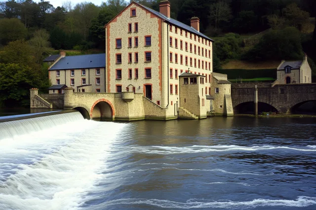
Trails follow water because industry did, which means the roads follow water too.
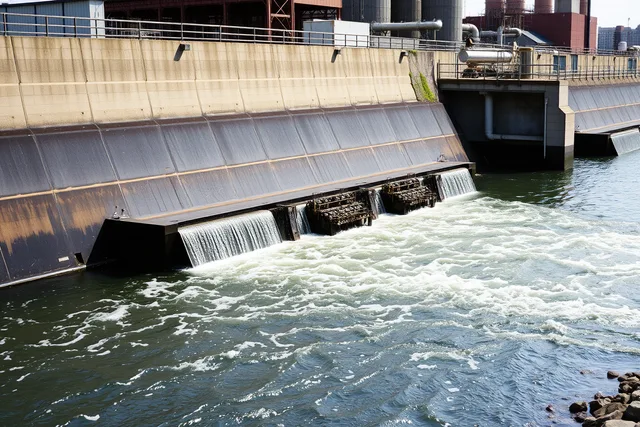
Those are the roads that close first. The National Weather Service's flood safety guidance is the plain version of why: low-lying routes, culverts and river crossings flood quickly and are the most dangerous places to be driving. Seasonal mistakes on a factory visit cluster around the same low-lying river roads that flood first.
Spring snowmelt and the wet season in your region are when a river-corridor trail is most likely to be interrupted, and the interruption is a road closure rather than a site closure.
Reading the season for the region
Rather than guessing, look at what the climate record says for the corridor you plan to drive.
The National Oceanic and Atmospheric Administration's education resources explain how weather and climate information is produced and how to interpret it, which is more useful for planning than a ten-day forecast when the trip is three months away.
For a trail, the questions are simple: when is the wet season, when is the heat, and when do the roads get difficult.
Season by season
Trail viability
- December to February
- Anchors only. Small sites closed
- March to April
- Variable. Snowmelt and flooding
- May to June
- Good. Everything reopening
- July to August
- Everything open, heat and shutdowns
- September to October
- The best window
- November
- Sites closing, short days
Best used for
- December to February
- Archive and museum research trips
- March to April
- Flexible plans only
- May to June
- Full trails
- July to August
- Family trips, with morning starts
- September to October
- Full trails, comfortable driving
- November
- Anchors and towns
The winter version is a different trip
Do not force a summer trail into January. Build a different trip instead: two anchors, an archive day, and the towns rather than the outdoor sites.
That version is genuinely good, and the driving is short enough to survive a bad day.
Daylight matters more than people expect
Distributed trails need daylight, because half the stops are outdoors and unlit: bridges, quarry viewpoints, company towns, canal locks.
In November you lose the last two stops of every day. In June you gain an evening.
The route these seasons apply to is built in the planning steps, and the budget shifts mostly through accommodation and the extra night a slower season needs.